Drone-based aerial surveys
Use of drones allows capturing timely, high-resolution aerial photographs for various purposes.
From survey to evaluation
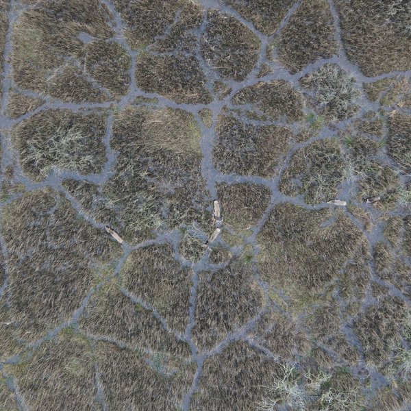
Onshore and in coastal areas, drone surveys can be used for various purposes:
- Biological surveys
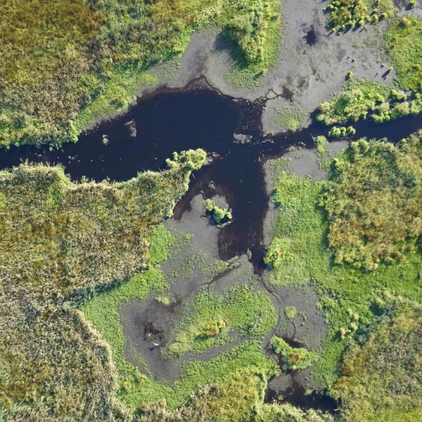
- Vegetation mapping
- Supervision of construction and compensation measures
- Land surveying
- Documentation of damages of the crop caused by excess moisture or draught
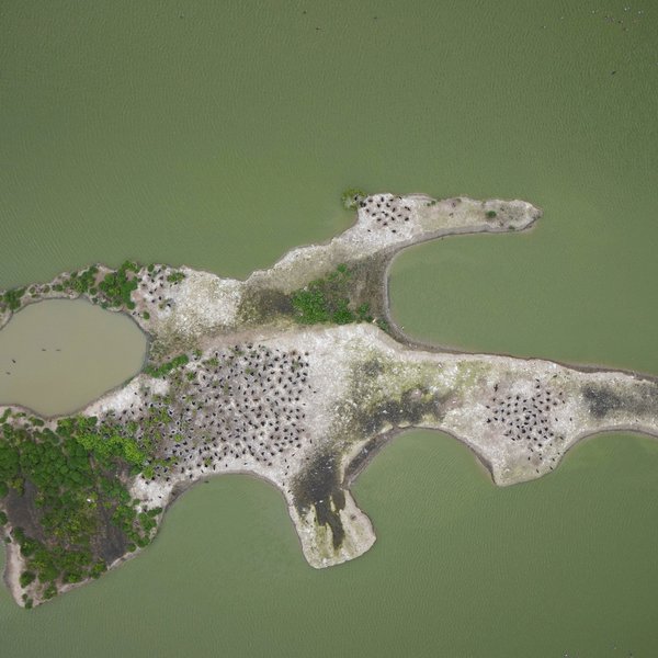
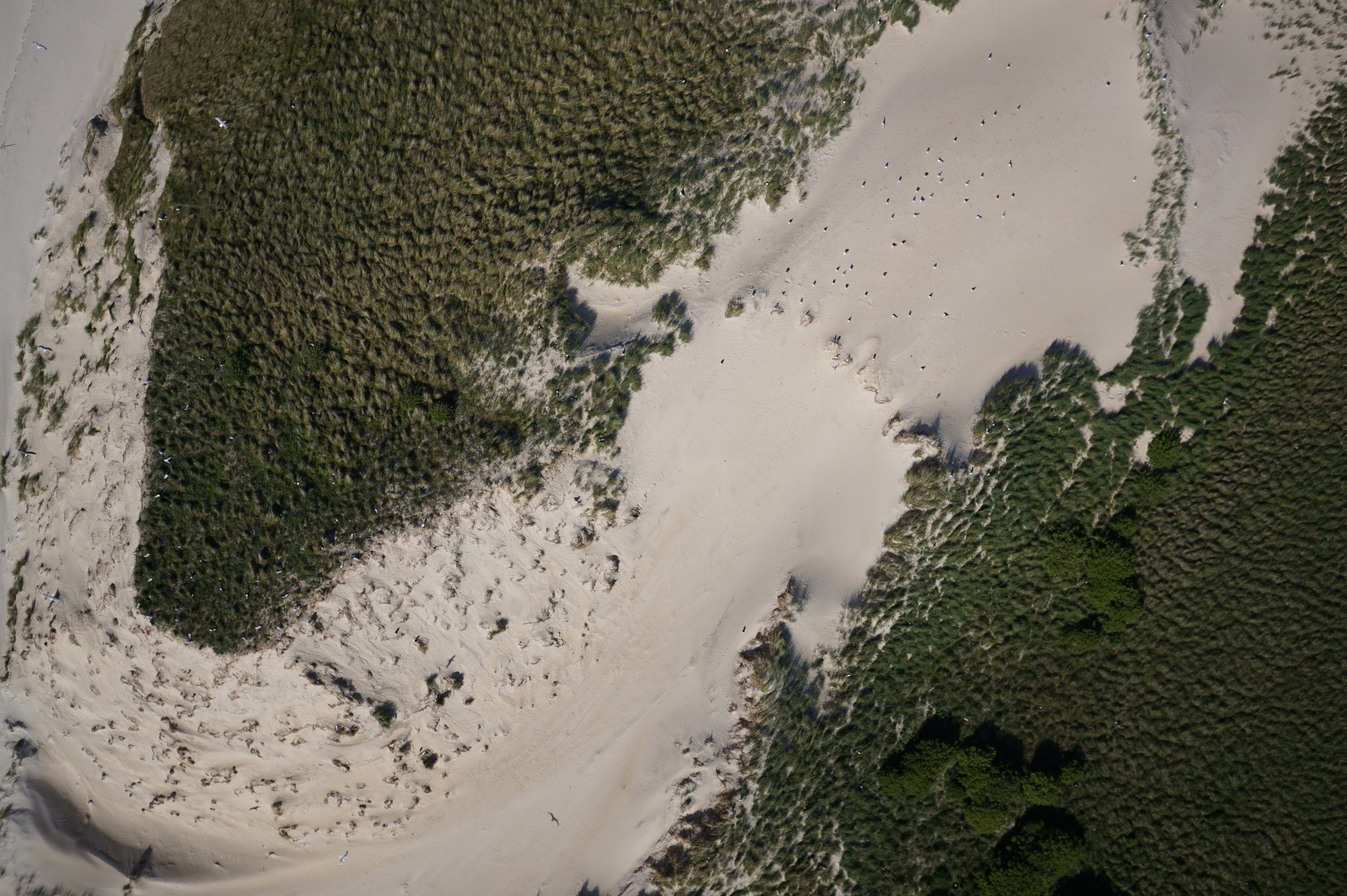
- Biological surveys of marine species (i.e., breeding and resting birds, harbour seals and grey seals)
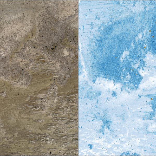
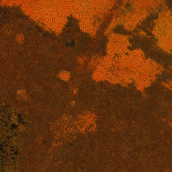
- Mapping of mussel beds and seagrass meadows
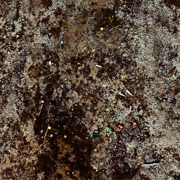
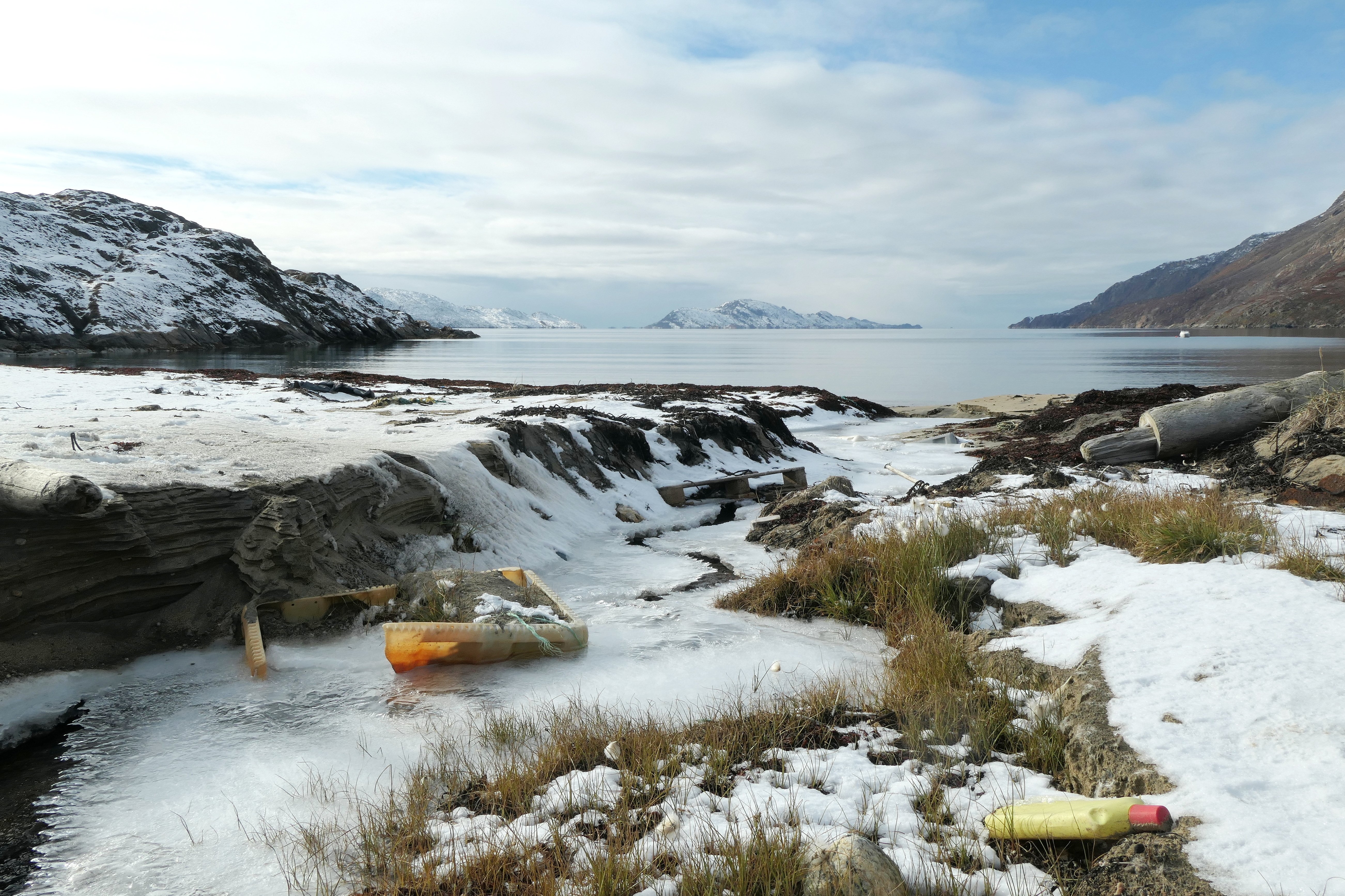
- Beach litter mapping
- Surveys of coastal lines, dunes and dikes
Our drones
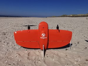
BioConsult SH has different drones that can be deployed flexibly depending on the required size of the area or the characteristics of the object.
© M. Schnurawa
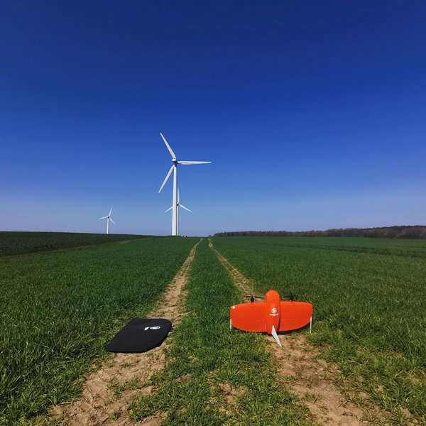
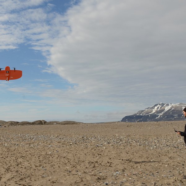
WingtraOne Gen II
- Monitoring drone for large areas (> 100 ha per flight)
- RGB and multispectral sensor
- PPK equipped to produce centimetre-level georeferencing
- Nadir images
© M. Schnurawa
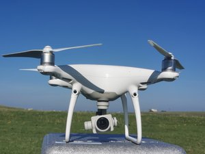
DJI Phantom 4 Pro
- Multicopter drone for images and video
- RGB sensor
- Nadir and off-nadir images
© M. Schnurawa
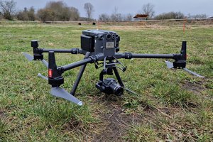
Matrice 300 RTK
- Monitoring drone for large areas
- Drone for images and video
- RGB and multispectral sensor
- RTK-equipped to produce centimetre-level georeferencing
- Nadir and off-nadir images
© A. Kersten
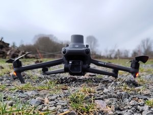
Mavic 3e
- Multicopter drone
- Image and video recording
- RGB sensor (wide-angle and zoom)
- RTK module for centimetre-level georeferencing
- Nadir and off-nadir recordings
© Marc Schnurawa
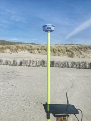
GNSS Receiver Stonex S900T
- Base station to perform post-processed kinematic (PPK) of drone images
- Optional base and rover configuration
- Receives GPS, GLONASS, Galileo, Galileo
- Sub-centimetre accuracy of ground control points (GCPs)
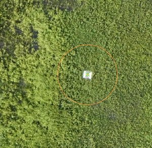
© BioConsult SH
GCPs
- Standard size: 30 cm and 50 cm
- Absolute accuracy of drone location data
- Validation of RTK and PPK accuracy
Data processing and evaluation
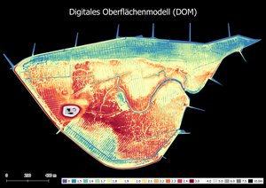
Next to simply record data, BioConsult SH additionally offers data processing and content-related evaluation.
© BioConsult SH
Processing of drone images
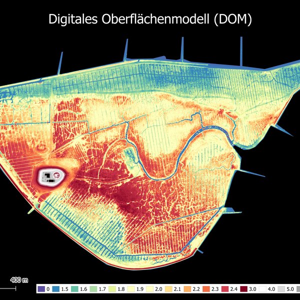
- Digital surface model (DSM)
- Orthophotos
- Digital terrain model (DTM)
- Index maps for multispectral images
- Vegetation indices
© BioConsult SH
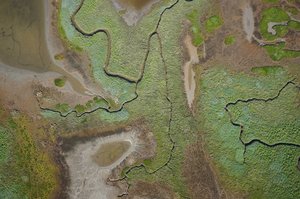
Content-related evaluation
- Vegetation analyses
- Object identification and recognition
- Volume estimates
- Breeding bird monitoring
- Identification of marine species and birds
- Development and application of automatised data analysis methods (AI)
Reference projects
Publications
Bestandserfassung von Silber- und Heringsmöwen Larus argentatus und L. fuscus mittels Drohne und Bodenerfassung an der Amrumer Odde
Corax 26: 49-56
https://ornithologie-schleswig-holstein.de/coraxartikel/Enners_etal_2024_Corax_26_01_49-56.pdf
Drone-based monitoring of intertidal blue mussel beds in the Wadden Sea – comparison of a threshold and two machine learning approaches
Front. Mar. Sci. 11:1381036. doi: 10.3389/fmars.2024.1381036
https://www.frontiersin.org/articles/10.3389/fmars.2024.1381036/full

