Monitoring and mapping in coastal areas
Mapping and monitoring of flora, fauna and habitats in the Wadden Sea and on the coasts of the North and Baltic Seas.
Biological surveys – basis for environmental planning and research
We carry out mapping and monitoring of flora, fauna and habitats on the coasts and in the coastal waters of the North and Baltic Seas.
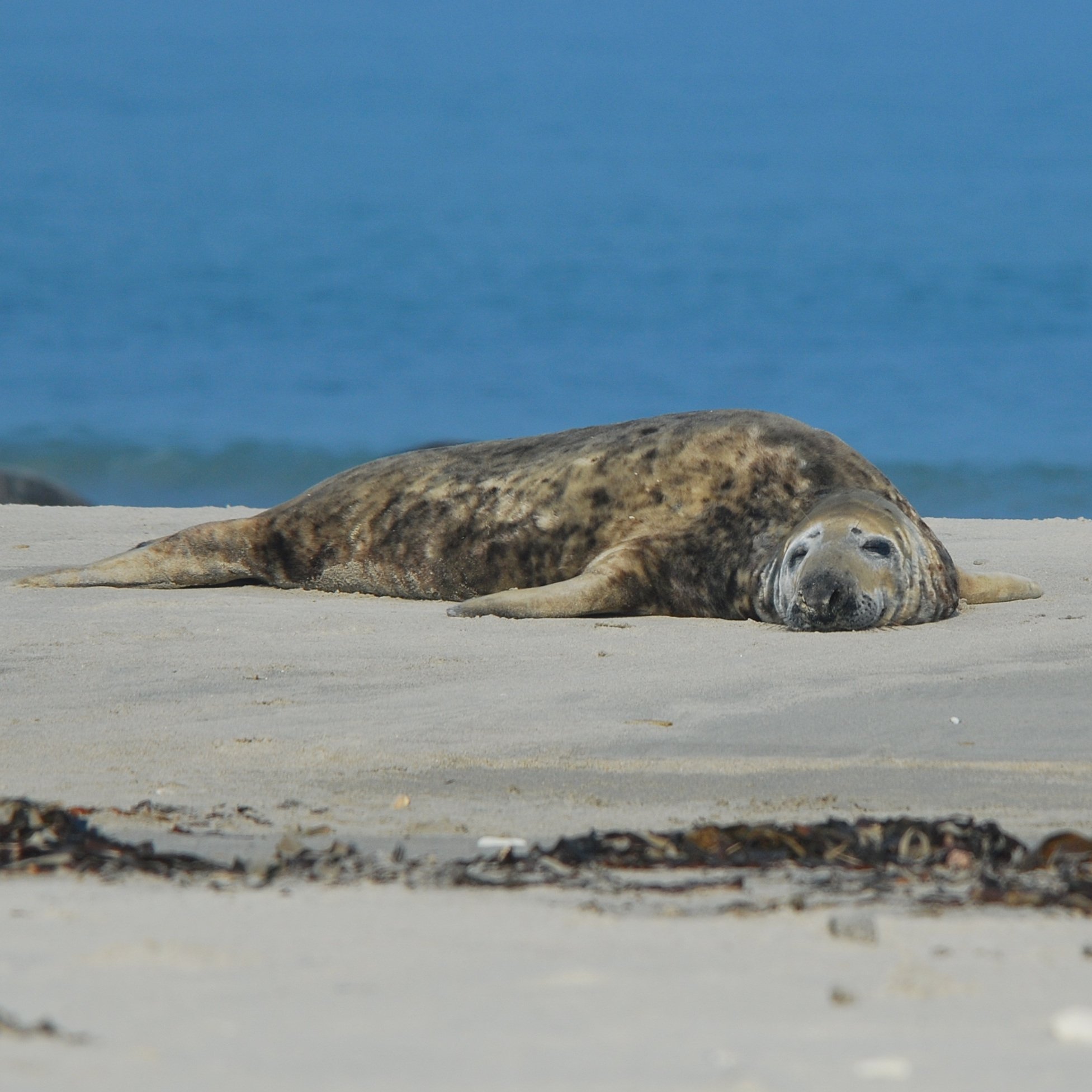
Our focus is on breeding and resting birds, mussels and oysters, seals and biotope types.
We collect data for research purposes, as part of monitoring programmes or as a basis for planning and approval procedures.
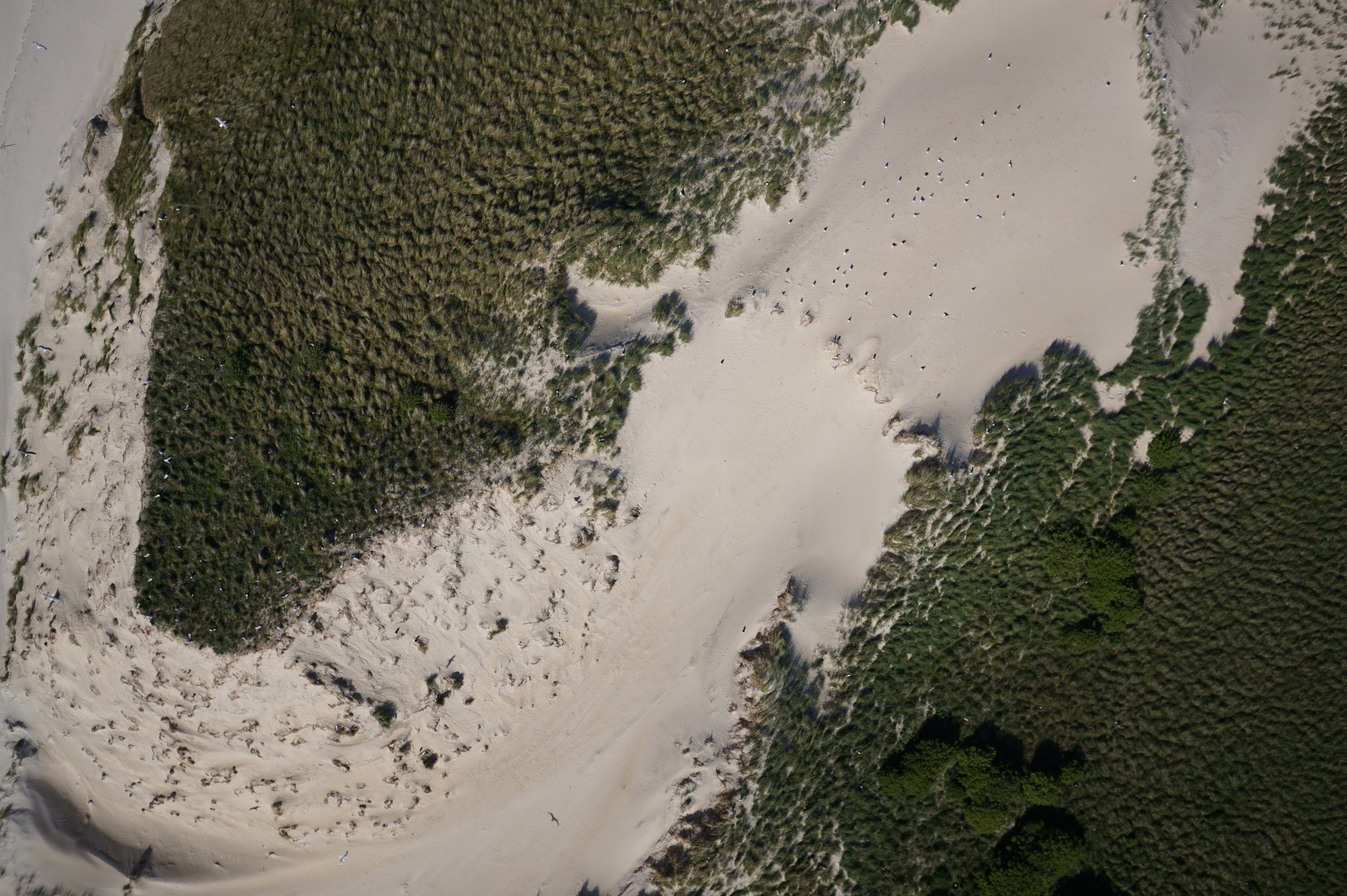
We also apply special recording methods such as aerial counts (e.g. of harbour seals and grey seals in the Wadden Sea) and aerial photography using drones.
Depending on the project, we provide the data sets directly to our clients or the collected data is processed in expert assessments, statements and reports.
In the coastal waters of Schleswig-Holstein's west coast in particular, we are involved in or have helped to develop several monitoring programmes on behalf of the state authorities.
Within the framework of the Trilateral Monitoring and Assessment Programme (TMAP), for example, we have been carrying out surveys on behalf of the state authorities since its introduction. The results are regularly presented at international conferences and published in scientific journals.
Reference projects
Contact

Heike Büttger
Team lead of cross-sectional tasks
Deputy team lead marine ecology


![[Translate to English:]](/fileadmin/_processed_/b/7/csm_Christopher_Gross_Neue_Sorge_-_Foto_Christopher_Gross02_a2d54b0b66.jpg)

